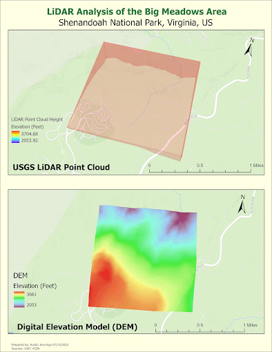
In Module 2 of Applications in GIS, we jumped into working with LiDAR (Light Detection and Ranging) technology and its applications in forestry. The primary focus was on decompressing .las files, creating Digital Elevation Models (DEMs) and Digital Surface Models (DSMs), and calculating forest height using LiDAR data sourced from the Virginia LiDAR application.
I'm really fascinated with LiDAR and excited to work with the data type more. However, I realized that this data type can be quite cumbersome when it comes to processing. This week, I struggled with the UWF virtual machine we use to run ArcGIS Pro, which was lagging significantly. Unfortunately, I couldn't get the LAS layer to rasterize, so what you see in the included map isn't what it was supposed to represent.


No comments:
Post a Comment